
Walks Near Thames: Kauaeranga Valley Tracks and the Pinnacles
The best walks near Thames are in the Kauaeranga Valley, 13 km east of town, where the Department of Conservation (DOC) looks after short walks of 10 to 30 minutes, half-day tracks such as the Cookson Kauri Walk, and the Kauaeranga Kauri Trail to the 759 m Pinnacles. Start at the Kauaeranga Visitor Centre for maps, track updates and hut bookings. For a flat walk in town, the Thames Coastal Walkway follows the waterfront for 3.5 km.
Key takeaways
- Seven short walks in the Kauaeranga Valley take 10 to 30 minutes and suit most ages and fitness levels.
- The Cookson Kauri Walk (1 to 1.5 hr) leads to one of the few giant kauri left after 1870s to 1920s logging.
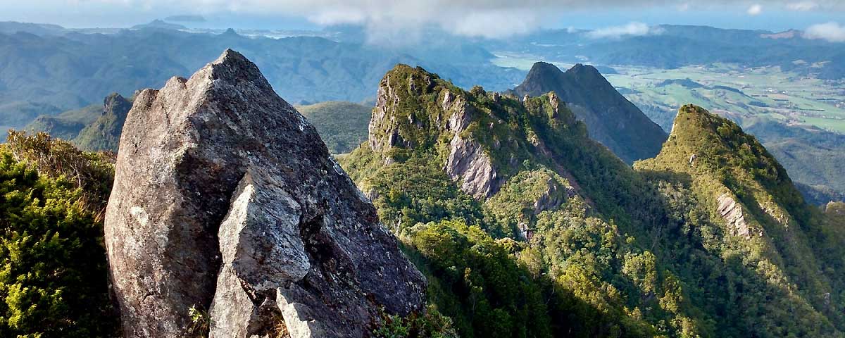
- The Pinnacles summit (759 m) is a full day return, or an overnight trip with a booked bed at Pinnacles Hut.
- Rivers in the valley rise quickly in heavy rain, so check conditions at the Visitor Centre before crossing fords.
How do you get to the Kauaeranga Valley from Thames?
Turn off State Highway 25 at the southern entrance to Thames into Banks Street. It becomes Parawai Road, then Kauaeranga Valley Road. The Kauaeranga Visitor Centre sits 13 km up the valley and is open daily except Christmas Day, with 24-hour information panels under the veranda.
Past the Visitor Centre the road turns to gravel for 9 km to the road end, where the Pinnacles track starts. Streams cross the road in places and can become impassable after heavy rain. DOC also warns of vehicle theft at isolated car parks, so leave valuables at home or ask about bag storage at the Visitor Centre.
Short walks in the Kauaeranga Valley
These walks are all DOC short walks: well-formed tracks of up to an hour with bridged stream crossings. Times and distances are one way unless the walk is a loop.
| Walk | Time | Distance | Starts from | Highlights |
|---|---|---|---|---|
| Kahikatea Walk to model dam | 10 min | 450 m | Opposite the Visitor Centre | Loop past a one-third scale kauri driving dam |
| Nature Walk to Hoffmans Pool | 15 min | 250 m | Valley road | Native tree panels, picnic and summer swimming |
| Jasper Creek | 10 min | 250 m | Hotoritori Campsite | Regenerating forest, fungi and ground orchids |
| Murrays Walk | 15 min | 500 m | Valley road | Raised boardwalk, nikau and three tree fern species |
| Billygoat Landing Walk | 10 min | 500 m | Road end car park | Views of the 180 m Billygoat Falls and 1921 incline |
| Outlook 76 | 30 min | 600 m | Between Hotoritori and Whangaiterenga campsites | Lookout over the valley and Table Mountain |
| Edwards Lookout | 30 min | 700 m | Beyond Whangaiterenga Campsite | Rock outcrop and saddle, popular for abseiling |
With young children, pair the Kahikatea Walk with a swim at Hoffmans Pool, about 1.5 km up the road from the Visitor Centre. The pool beside Shag Stream Campsite is another family favourite: shallow on the entry side and deeper on the far side.
Longer walking tracks: Cookson Kauri and Catleys
Cookson Kauri Walk (1 to 1.5 hr, 2.5 km)
The Cookson Kauri Walk leaves from Wainora Campsite and climbs a well-graded track with steps and bridges across the Wainora Stream to the Cookson kauri. The Kauaeranga Valley was logged heavily from the 1870s to the 1920s, and this tree is one of the few giants that survived.
Catleys Track (45 min, 1.4 km one way)
Catleys Track crosses the Kauaeranga River at the Tarawaere entrance and follows river flats through regenerating forest. There is no bridge, so you need to ford the river. Assess the water carefully and be ready to wait or turn back.
The Pinnacles walk: Kauaeranga Kauri Trail
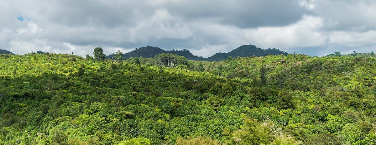
The Kauaeranga Kauri Trail follows a historic packhorse route that kauri bushmen used in the 1920s to reach logging camps in the upper valley. From the road end, cross the swing bridge, follow the river to Webb Creek, then climb steps cut into the rock to Hydro Camp.
| Section | Time | Distance |
|---|---|---|
| Road end to Hydro Camp | 1 hr 30 min to 2 hr | 3.7 km |
| Road end to Pinnacles Hut | 2 hr 30 min to 3 hr | 6 km |
| Pinnacles Hut to the summit | 40 min | 1 km |
| Return via Webb Creek | 6 hr to 7 hr 30 min | There and back |
| Return as a circuit with the Billygoat Track | 7 hr to 8 hr 30 min | Circuit |
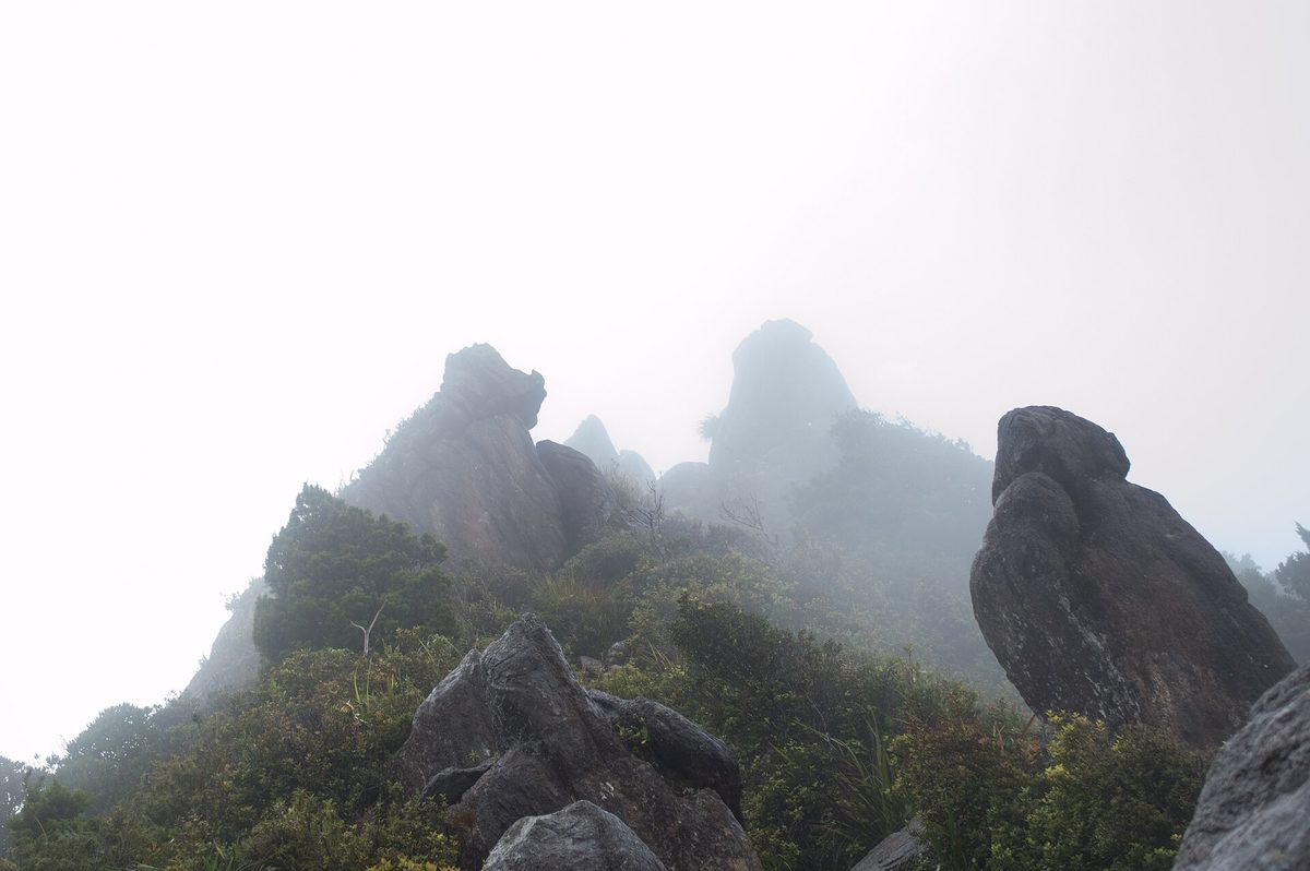
The final climb to the 759 m summit uses ladders beside steep drops, and the views take in the bush, mountains and eastern Coromandel coastline. DOC advises against the summit in high wind or rain and says sneakers are not suitable footwear for this track.
Five minutes below the hut, the Dancing Camp Dam was built in 1921 and partly restored in 1994. DOC describes it as the only complete kauri dam remaining in Aotearoa.
Staying at Pinnacles Hut
Pinnacles Hut is a serviced 80-bunk hut with a warden, gas cookers, a solid fuel burner, solar lighting and a cold shower. It must be booked online in advance, and DOC holds no spaces for walkers without a booking, so plan ahead for summer weekends and school holidays.
Tramping tracks for experienced walkers
DOC tramping tracks are mostly unformed, with steep or muddy sections and unbridged river crossings. They suit fit people with backcountry experience.
- Billygoat Circuit (4 to 5 hr, 10.5 km): Webb Creek, the Billygoat Basin, trestle remains and views of the 180 m Billygoat Falls.
- Tarawaere Dam Track (3 hr, 4 km loop): follows the Tarawaere Stream, crossing it many times, to the remains of a rafter flume dam.
- Piraunui Track (2 hr, 6 km): forested river flats and regenerating kauri, starting across the river from Shag Stream Campsite.
- Kaitarakihi Track (3 hr, 3.5 km): a steady climb from Kopu-Hikuai Road, with installed chains for the final 30 minutes to the summit.
Walks on the Thames coast: Waiomu Kauri Grove
North of Thames on the coast road, the Waiomu Kauri Grove Walk is a 2-hour return walk to one of the Coromandel Peninsula's finest remaining kauri stands. It starts at the end of the sealed Waiomu Valley Road and follows 600 m of gravel road before entering the bush. Expect several stream crossings. About 25 minutes in, a short side track crosses the stream to the old Monowai Goldmine battery site.
Before you go
- Rivers and streams in the Kauaeranga Valley can rise rapidly during heavy rain. Wait for the water to drop or turn back.
- Kauri are under threat from kauri dieback disease. Stay on the tracks and clean your footwear at the hygiene stations.
- Follow orange triangle markers. Other coloured markers or tape are for pest control and should not be followed.
- Pack warm layers, food and water, and tell someone your plans, even for a day walk.
Find it on the map
Make a trip of it
Many walkers base themselves in town the night before the Pinnacles, so compare places to stay in Thames or pitch a tent at a valley site using our guide to camping near Thames. The kauri dams and tramlines are part of the region's logging and goldfields past, covered in historical Thames. After a long day, refuel at local cafes and restaurants, ride the Hauraki Rail Trail, or browse more things to do in Thames.
Frequently asked questions
How long is the Pinnacles walk from Thames?
The Pinnacles walk starts at the Kauaeranga Valley road end, about 22 km from Thames. The track to Pinnacles Hut takes 2 hr 30 min to 3 hr (6 km) one way, and the summit is a further 40 min. DOC puts the return trip via Webb Creek at 6 to 7 hr 30 min, or 7 to 8 hr 30 min as a circuit with the Billygoat Track.
Do I need to book Pinnacles Hut?
Yes. Pinnacles Hut is a serviced 80-bunk DOC hut with a warden, and it must be booked online in advance. DOC keeps no spaces for walkers who arrive without a booking.
What are the best short walks near Thames?
The Kahikatea Walk to the model dam (10 min, 450 m), the Nature Walk to Hoffmans Pool (15 min, 250 m) and the Billygoat Landing Walk (10 min, 500 m) are all under 15 minutes. For a longer outing, the Cookson Kauri Walk takes 1 to 1.5 hr to reach one of the valley's last giant kauri.
Can you swim in the Kauaeranga Valley?
Yes. Hoffmans Pool, about 1.5 km up the road from the Kauaeranga Visitor Centre, is the best-known swimming hole. The pool near Shag Stream Campsite suits families because it is shallow on the entry side.
How do I get to the Kauaeranga Visitor Centre from Thames?
From State Highway 25 at the southern entrance to Thames, turn into Banks Street, which becomes Parawai Road and then Kauaeranga Valley Road. The visitor centre is 13 km up the valley road, and the road continues as gravel for 9 km to the Pinnacles track road end.
Are the Kauaeranga Valley tracks suitable for children?
The short walks are. DOC grades them as well-formed tracks of up to an hour with bridged crossings, suitable for most abilities. The Pinnacles summit climb includes ladders and steep drops, so it is better suited to confident, fit walkers.
Walk times and distances are from the Department of Conservation's Kauaeranga valley brochure and track pages, checked September 2026. Conditions change, so confirm with the Kauaeranga Visitor Centre before you go.